


Around the Dachstein
The tour in numbers
Route
160,0 km
Time
3:30 h
Uphill
1932 hm
Downhill
1932 hm
Highest point
1001 m
The myth of the varied three-country crusing around the picture-book-like limestone massif is captivating.
Myths come to life on this route. Whether around the legendary mountain passes and primeval salt worlds, the historical places and lightning blue mountain lakes or around legends and stories that entwine themselves around the mountains. It is the most varied route on the tracks of the ENNSTAL-CLASSIC. An illustrated book could be filled in a single day with views of the summit alone, which reveal themselves all around, towards the summit triumvirate (2995m) and the snow-white glacier roof glistening far into the distance.
Best season
January
February
March
April
May
June
July
August
September
October
November
December
More information
The route "DACHSTEIN" leads from the Gröbming starting point on the B 320 eastwards - to Trautenfels (crossing point) - Trautenfels - turn left onto the B 145 - Tauplitz - Bad Mitterndorf - Bad Aussee - continue on the B 145 over Pötschenpass (ascent/descent 7-9%) - St.Agatha - Bad Goisern - turn left onto the B 166 towards Au - Steeg - intersection Hallstatt/Gosau - Gosau, continue via Pass Gschütt (ascent/descent 14-17%) - Russbach - intersection Abentau/Annaberg - Lungötz - St.Martin am Tennengebirge - Niedernfritz - until intersection Eben/Radstadt turn left onto the B 320 - Radstadt - Schladming - Haus im Ennstal - Gröbming.
1st variant - PlanneralmAt the Trautenfels intersection turn right onto the B45 - Irdning - Donnersbach - turn left onto the L738 - Planneralm (mountain pine distillery)
2nd variant - Tauplitzalmin Tauplitz turn right and drive to the valley station of the Tauplitzalm
3rd variant - Loserin Bad Aussee turn right direction Altaussee - pass Altausseer See - Loser Bergbahnen - Loser Panoramastraße (toll required)
4th variant (sightseeing):Dachstein caves (ice cave, mammoth cave) Bad Aussee turn left via Koppenstrasse (ascent/descent 16-23%) Obertraun (Dachstein cable car to the cave portals) - Hallstatt
5th variant (sightseeing/secret tip):Gosau - Paarhof Open Air Museum - Lake Gosau
The provisions of the Austrian Road Traffic Regulations apply to the entire route.
Compliance with the road traffic regulations and all other statutory provisions shall have absolute priority at all times.
- Planneralm - Latschenbrennerei
- Dachsteinhöhe
- Gosausee
www.ennstal-classic-readbook.at
Map & downloads
Gallery
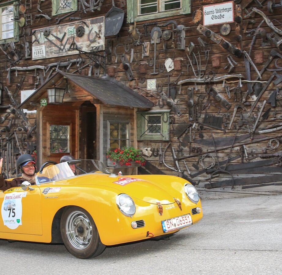
Pürgg | © Ennstal Classic | Martin Huber
1/15
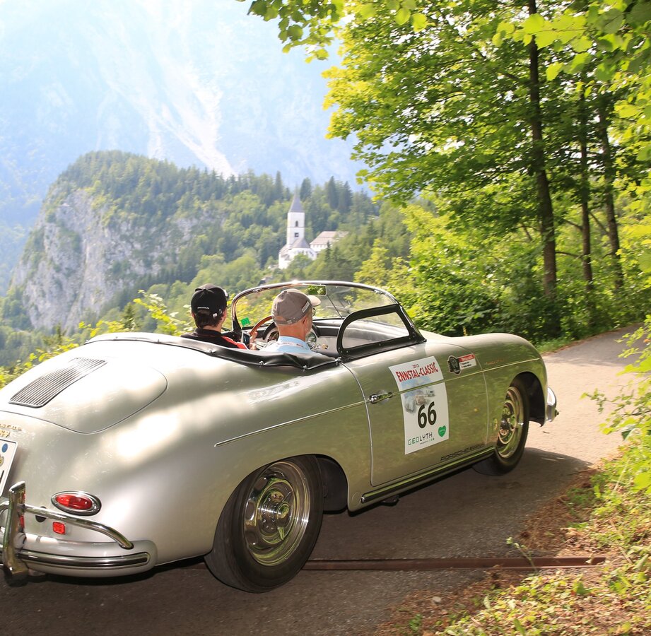
Pürgg | © Ennstal-Classic | Martin Huber
2/15
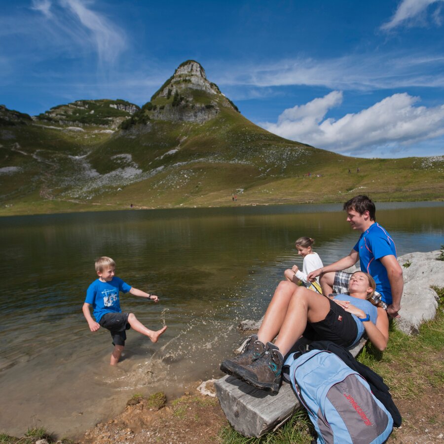
Loser | © Tourismusverband Ausseerland - Salzkammergut | Himsl
3/15
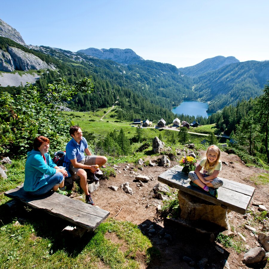
Tauplitzalm | © Tourismusverband Ausseerland - Salzkammergut | Tom Lamm
4/15
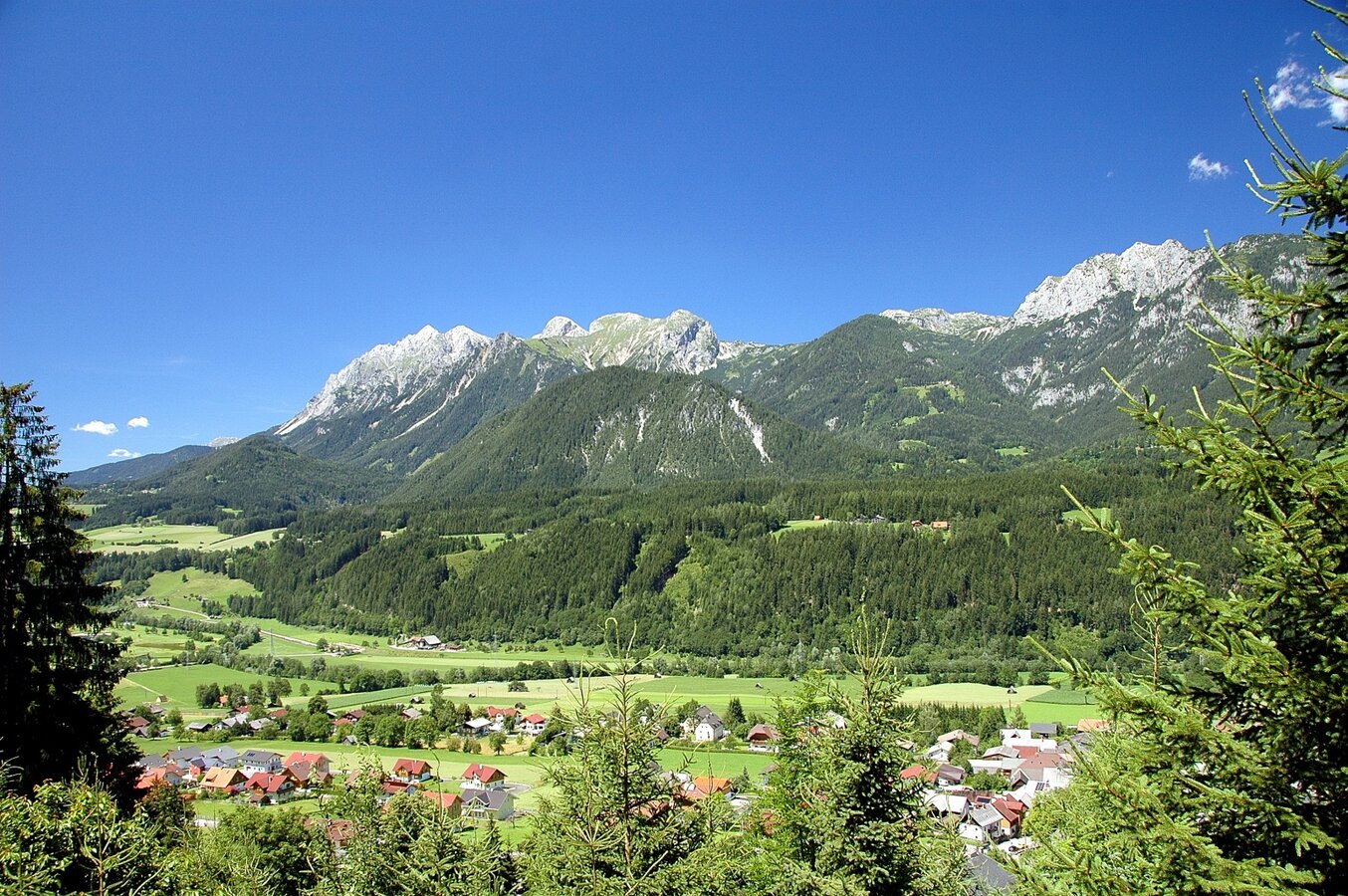
Ausblick von Oberhaus | © TV Haus-Aich-Gösseneberg | Schladming Dachstein - TVB Haus
5/15
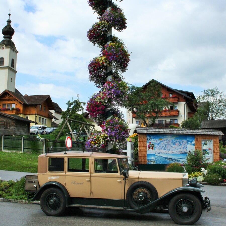
Haus im Ennstal | © TV Haus-Aich-Gössenberg | Schladming Dachstein - TVB Haus
6/15
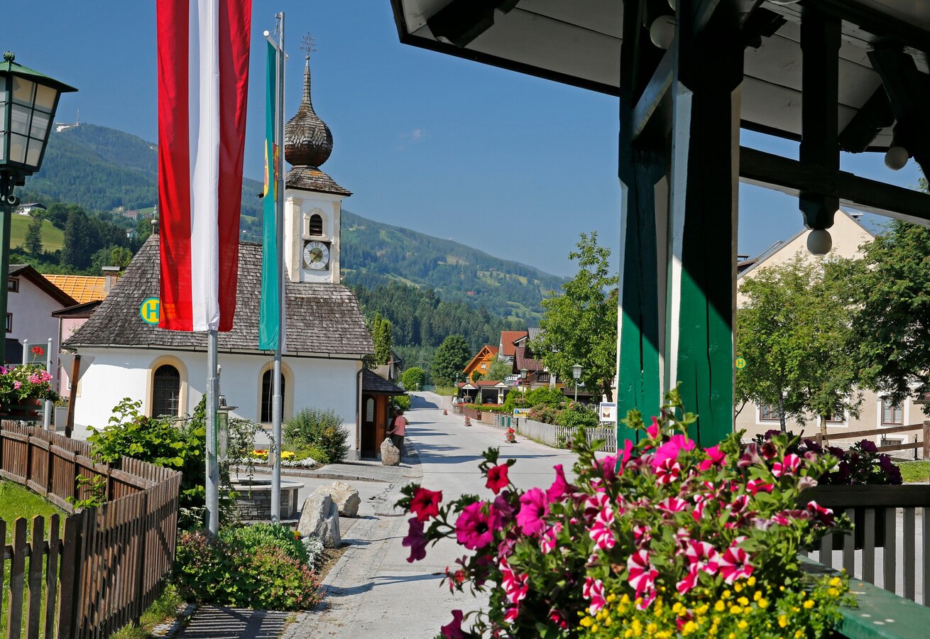
Kapelle Aich | © TV Haus-Aich-Gössenberg | Herbert Raffalt
7/15
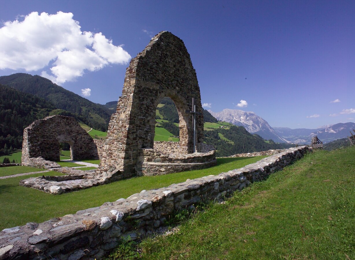
Ägydiuskirche Donnerbach | © TV Grimming-Donnersbachtal | Hagspiel Photographie
8/15
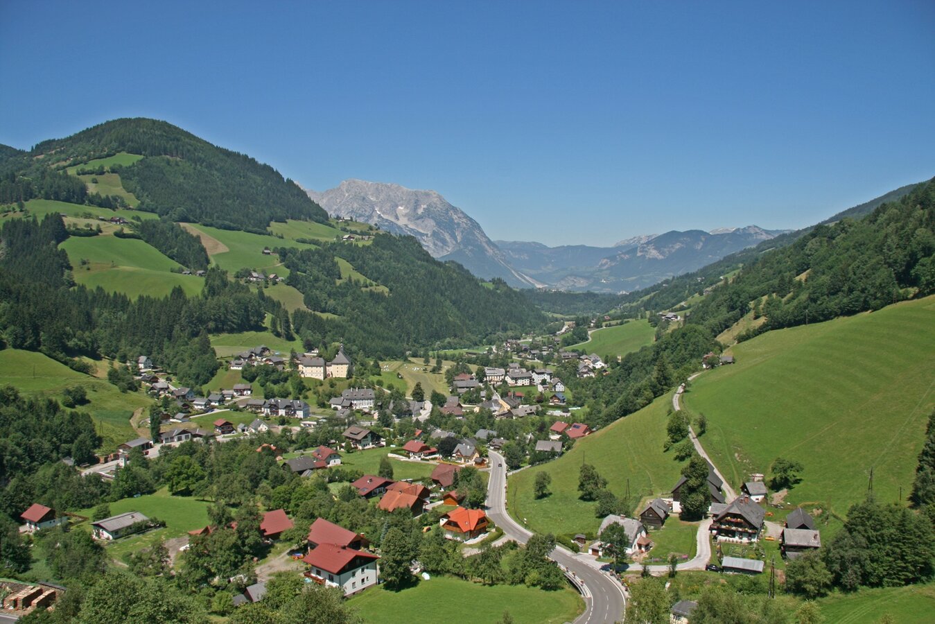
Donnersbach | © TV Grimming-Donnersbachtal | Hagspiel-Photographie
9/15
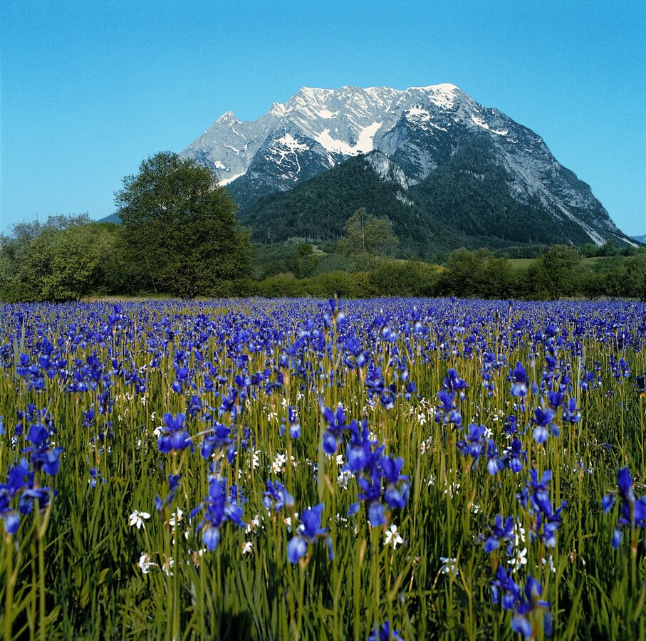
Grimming mit Lilienwiese | © TV Grimming-Donnersbachtal | Hagspeil Photographie
10/15
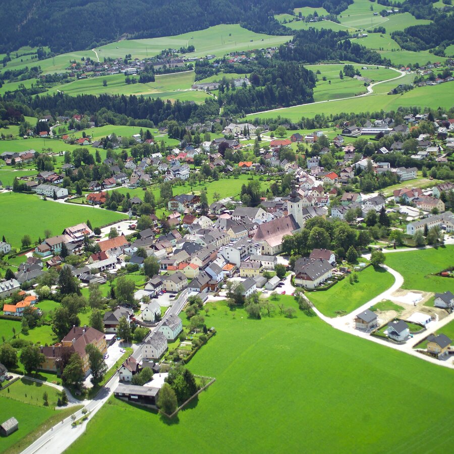
Irdning | © TV Grimming-Donnersbachtal | Hagspeil Photographie
11/15
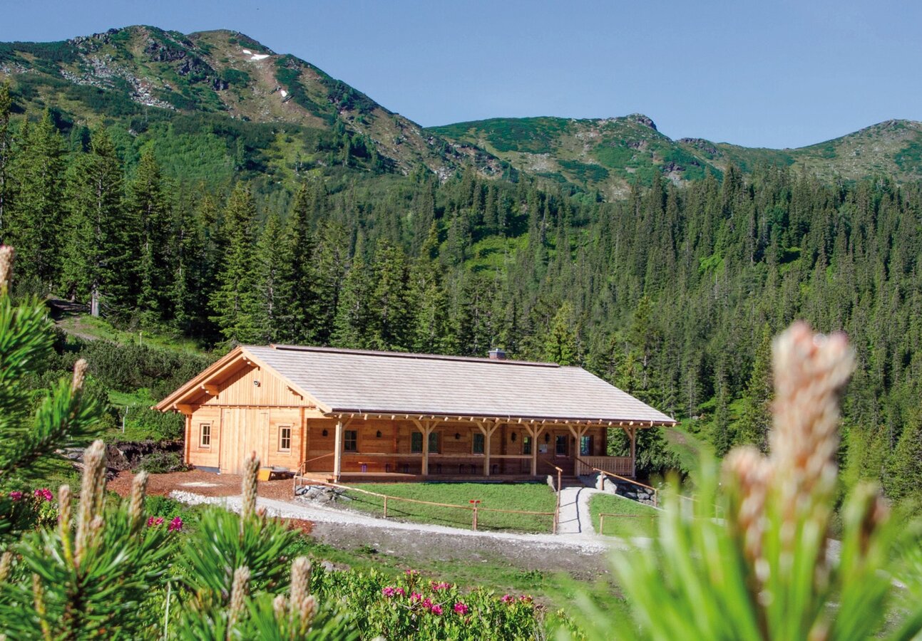
Latschenbrennerei Planneralm | © TV Grimming-Donnersbachtal | Latschenbrennerei Planneralm
12/15
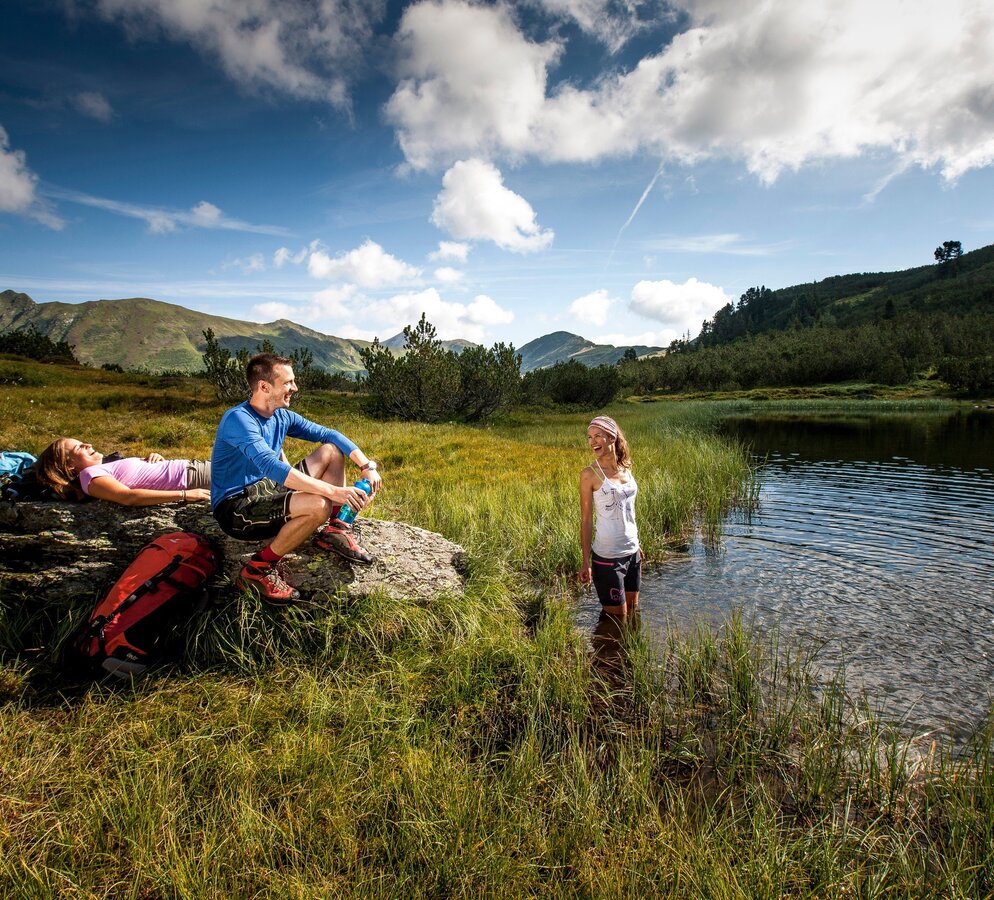
Planneralm | © TV Grimming-Donnersbachtal | Tom Lamm
13/15
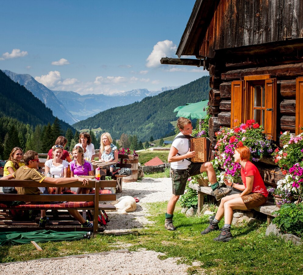
Schrabachalm Planneralm | © TV Grimming-Donnersbachtal | Tom Lamm
14/15
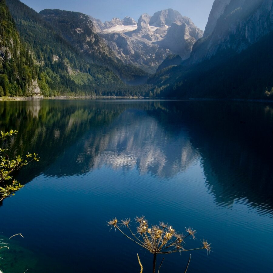
Gosausee | © Ferienregion Dachstein/Salzkammergut | OÖ Tourismus
15/15

What the weather will be like Gröbming (804m)
Today, 25.10.2026
Mostly cloudy and rain, which will increase more and more.Morning

1°C
sr.Regenwahrscheinlichkeit
5%
sr.Windstärke
5 km/h
Noon

6°C
sr.Regenwahrscheinlichkeit
65%
sr.Windstärke
5 km/h
Night

6°C
sr.Regenwahrscheinlichkeit
85%
sr.Windstärke
5 km/h
Tomorrow, 26.10.2026
Early clouds will clear to leave the region with a dry and sunny day.Morning
3°C
sr.Regenwahrscheinlichkeit
65%
sr.Windstärke
10 km/h
Noon
9°C
sr.Regenwahrscheinlichkeit
30%
sr.Windstärke
10 km/h
Night

3°C
sr.Regenwahrscheinlichkeit
0%
sr.Windstärke
0 km/h
Forecast
27.10.2026
-2°C
12°C
28.10.2026
1°C
11°C
29.10.2026

3°C
12°C
