


Closed
Planneralm Natural Sled Run
Accessible by public transport- Ski bus
Characteristics
SkillThe tour in numbers
Level of difficulty
easy
Route
1,0 km
Time
0:30 h
Uphill
123 hm
Downhill
120 hm
Highest point
1650 m
Crunchy tobogganing fun in the highest ski village in Styria - the Planneralm.
Just behind the Planneralm ticket counter, make your way up to the right to “Hildes Kegelbahn”. From there continue about another 1 km through forest and the finest natural snow imaginable. The natural toboggan run is open daily, also floodlit evenings until midnight, and free to use.
Best season
January
February
March
April
May
June
July
August
September
October
November
December
More information
Leave the B320 in Trautenfels in the direction of Donnersbach. From Donnersbach, a 12 km long toll-free mountain road leads up to the Planneralm.
Large, free parking lot directly on the Planneralm.
Large, free parking lot directly on the Planneralm.
After the lift ticket counter Planneralm, the ascent leads to the right past Hilde's bowling alley. From there, continue uphill for about 1 km on the finest natural snow through the forest.
- Quality sled
- Helmet
- Ski goggles
- Warm and weatherproof clothing
- Robust and warm gloves
- Fixed shoes with non-slip soles or low profile
- In the dark, think of a headlamp and reflective clothing;
- Rental possibilities at Sport Scherz and Sport Schöttl or at "Hildes Kegelbahn" directly at the Planneralm.
Take a look at the lunar calendar. Because at full moon it is twice as beautiful ;-)
During the winter holidays a public bus runs daily to the Planneralm.
You can find further information at www.verbundlinie.at or www.planneralm.at.
Tourism information: www.schladming-dachstein.at
Tourism blog: www.derbergdastal.at
Tourist Office Schladming-Dachstein
Ramsauerstrasse 756
8970 Schladming
T: +43 3687 23310
Planneralm: www.planneralm.at
Garbage on meadows and paths can not smell mountain and valley. Please take it with you. Agriculture and forestry are important partners for Berg und Tal. They allow you to walk and drive on many of their paths. Be aware that only good cooperation will guarantee your recreational enjoyment in the future.
Winter leisure map Planneralm - available free of chargeMap & downloads
Gallery
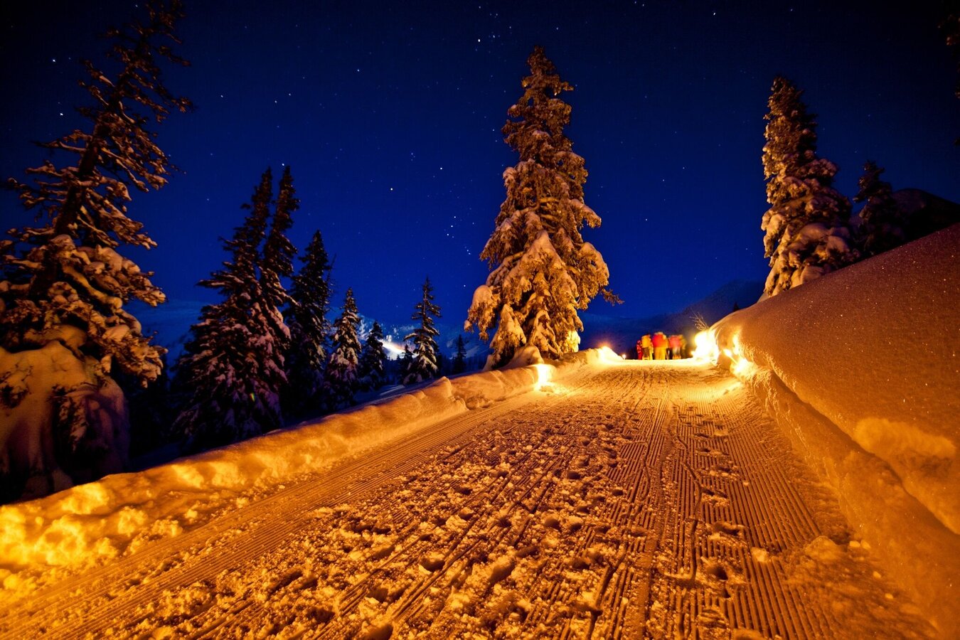
Nachtrodeln auf der Planneralm | © Erlebnisregion Schladming-Dachstein | Tom Lamm
1/4
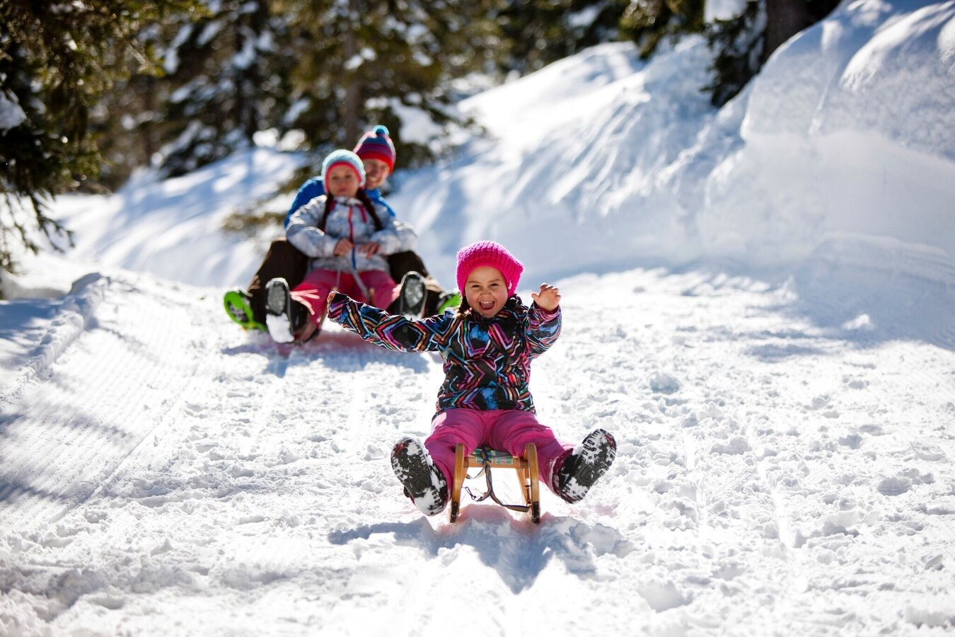
Rodeln macht glücklich. | © Planneralm | Tom Lamm
2/4
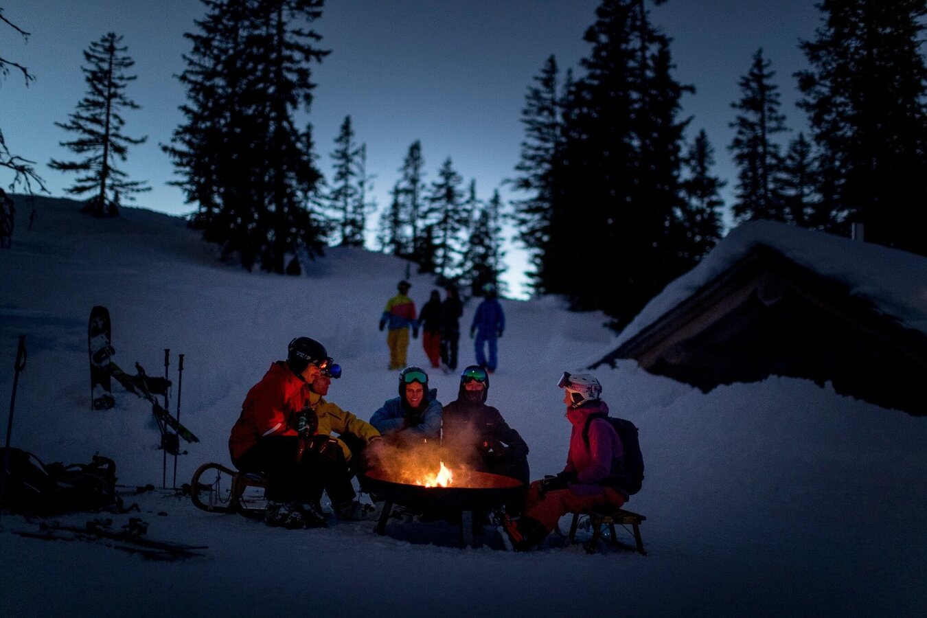
Nachtrodeln mit Freunden. | © Steiermark Tourismus | Tom Lamm
3/4
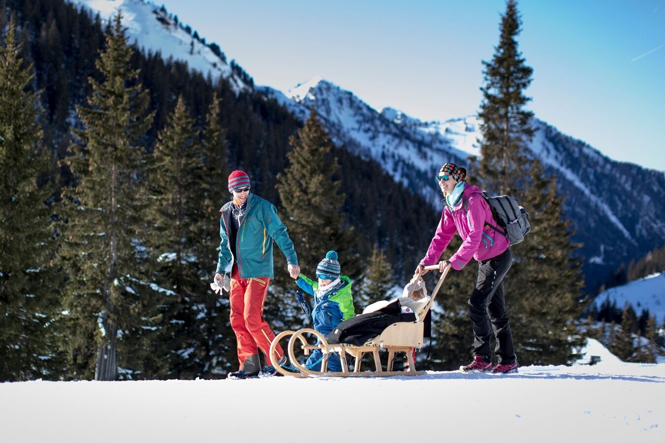
Unterwegs mit der Familie. | © Steiermark Tourismus | Tom Lamm
4/4

What the weather will be like Irdning-Donnersbachtal (665m)
Today, 07.10.2026
Dry and sunny throughout the day with hardly any clouds.Morning

7°C
sr.Regenwahrscheinlichkeit
0%
sr.Windstärke
5 km/h
Noon
18°C
sr.Regenwahrscheinlichkeit
0%
sr.Windstärke
5 km/h
Night
12°C
sr.Regenwahrscheinlichkeit
0%
sr.Windstärke
5 km/h
Tomorrow, 08.10.2026
Fairly sunny with scattered clouds. Showers will be possible towards evening.Morning

7°C
sr.Regenwahrscheinlichkeit
40%
sr.Windstärke
5 km/h
Noon
17°C
sr.Regenwahrscheinlichkeit
30%
sr.Windstärke
0 km/h
Night

14°C
sr.Regenwahrscheinlichkeit
85%
sr.Windstärke
5 km/h
Forecast
09.10.2026
6°C
14°C
10.10.2026

5°C
15°C
11.10.2026

6°C
14°C
