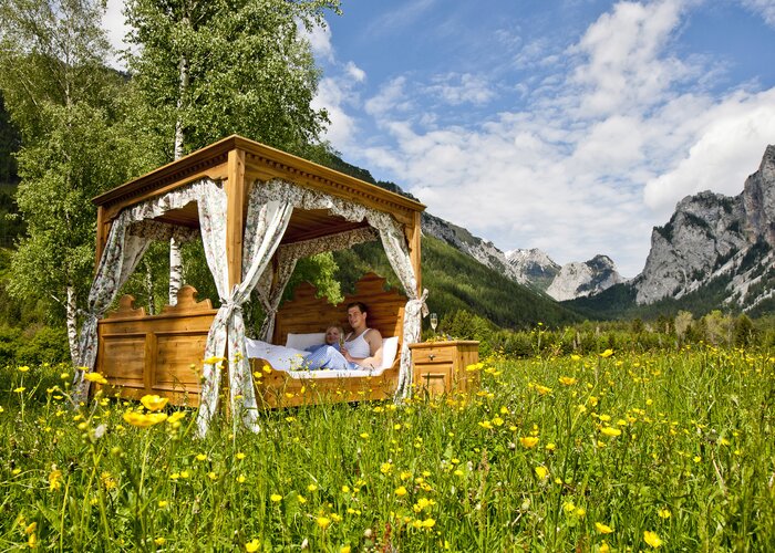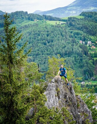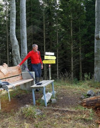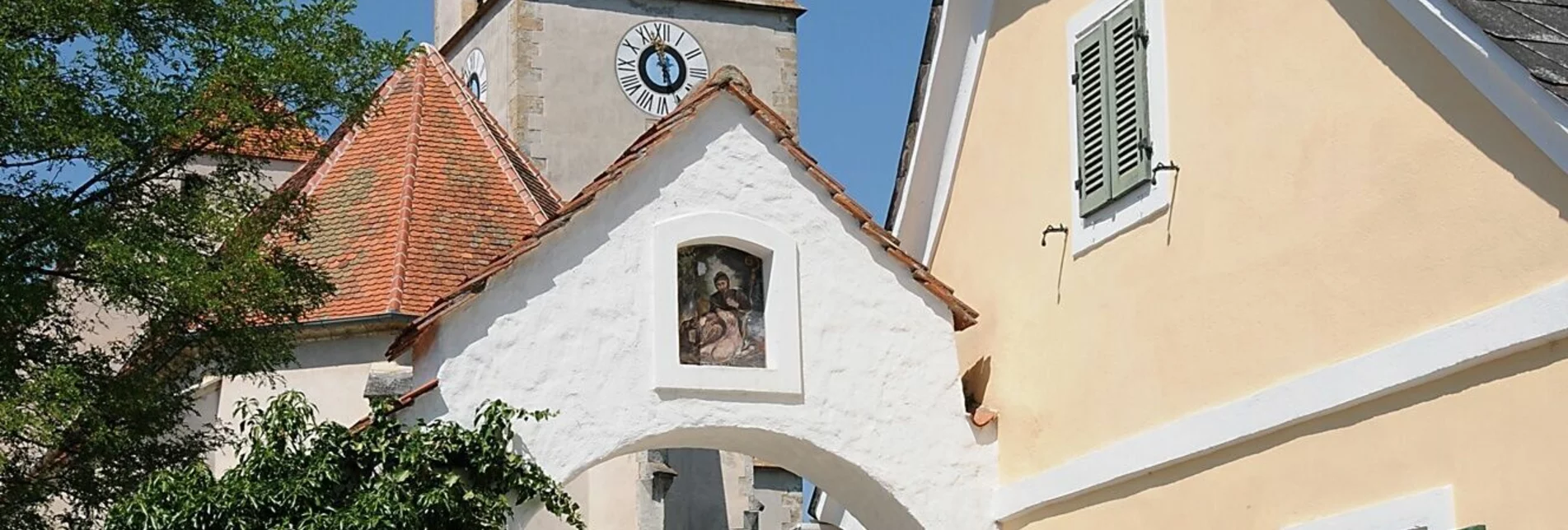
Hiking route  - Touren-Impression #1 | © Region Graz Hiking route  - Touren-Impression #1 | © Region Graz

Open

Characteristics

Skill
Fitness
Experience
Scenery

Best season

The tour in numbers

easy
Level of difficulty
3,6 km
Route
1:30 h
Time
70 hm
Uphill
70 hm
Downhill
749 m
Highest point
685 m
Lowest point

Map & downloads

More information

Gallery

What the weather will be like

Semriach (715m)

Morning
weather.icon.76
1°C
95%
5 km/h
Noon
weather.icon.88
3°C
90%
5 km/h
Night
weather.icon.66
2°C
90%
5 km/h
At first snowfall, which will give way to rain during the day.
Morning
weather.icon.88
3°C
90%
10 km/h
Noon
foggy
5°C
85%
10 km/h
Night
cloudy
3°C
45%
5 km/h
Sleet or rain will continue into the afternoon, then the clouds will break up slowly.
25.04.2024
slightly cloudy
0°C 7°C
26.04.2024
sunny
-1°C 12°C
27.04.2024
very sunny
3°C 16°C

Nearby accommodation options

Continue to search

You may also be interested in

Recommended tours

Schöckl-Gipfelkreuz, Naturpark Almenland in der Oststeiermark | Christine Pollhammer | © Oststeiermark Tourismus
Passail challenging Open
Route 15,5 km
Duration 6:00 h

1. Etappe: Path of the 100.000 steps, Arzberg - Schöckl

Accessible by public transport
Pfaffenkogelsteig (c)Region Graz-Mias Photoart | Meike Brucher | © Region Graz
Deutschfeistritz medium Open
Route 10,9 km
Duration 3:45 h

Magic mountain Pfaffenkogel

Sulberg, Nature Park Almenland in Eastern Styria | Christine Pollhammer | © Oststeiermark Tourismus
Frohnleiten medium Open
Route 10,5 km
Duration 3:30 h

Sulberg-Round from the Nechnitz

Gipfelkreuz am Gschaidberg, Naturpark Almenland | Chiara Raith | © Oststeiermark Tourismus
Fladnitz an der Teichalm medium Open
Route 14,4 km
Duration 5:00 h

Gerler Round from the Nechnitz

Accessible by public transport
kühles Quellwasser an kühlen Plätzen | Andrea Adler-König | © Region Graz
Sankt Radegund bei Graz medium Open
Route 8,2 km
Duration 2:45 h

The culturally rich Calvary tour

Unterwegs am Hochtrötsch | Harry Schiffer | © Region Graz
Semriach medium Open
Route 8,9 km
Duration 3:00 h

Hochtrötsch circular trail

Accessible by public transport
Gipfelkreuz Hochtrötsch | Meike Brucher | © Region Graz
Peggau challenging Open
Route 16,5 km
Duration 5:30 h

Hike over the Hochtrötsch to Peggau