
Facts about the state of Styria

Steirische Tourismus & Standortmarketing GmbH- STG
St. Peter-Hauptstraße 2438042 Graz +43 316 4003-0 Send email Website
Mag. (FH) Martina Haselwander
Facts and figures about the state
Location: Southeastern Austria
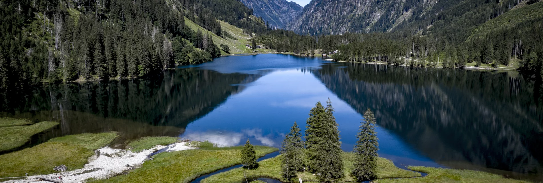
Area: with 16,401 km2 , around 60% of the forest,
it is Austria's second-largest state
Population: 1,232,012 inhabitants
State capital: Graz (second largest city in Austria) with 280,258 inhabitants
Climatic zones: Alpine climate in the north, Pannonian climate zone in the south
Topography: The north is (high) alpine with mountains up to approximately 3000 metres, in the middle alpine pastures (the largest continuous alpine region of Europe) and the Graz basin characterise the landscape, and in the south the hills of the vineyards alternate with flat planes of the thermal springs country
Border: 145 km with the Republic of Slovenia
National colours: White-green
Coat of arms: Red-horned, fire-breathing, silver panther on a green coat of arms, crowned by the Styrian duke's hat
Symbol: The green heart (since 1972 the country has also been called the green heart of Austria because of its abundance of forest)
Administration: 17 political districts, including the state capital of Graz
The highest point: 2,995 m Dachstein
The lowest point: 200 m – the Mur east of Bad Radkersburg
The longest river: Mur – 290.9 km (in Styria)
The largest lake: Grundlsee – 4.3 km2
